Hiking to Twin Lakes
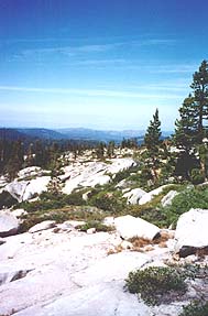
The weather was 'way too cool for swimming and lazing by the lake ... so we decided to keep warm by doing a lot of hiking. So we set off on a six mile day hike up to Twin Lakes, just inside the Desolation Wilderness boundary. Pictured here is a view to the west from about halfway up ... Wrights Lake is just below (but not visible), then the foothills and central valley beyond.
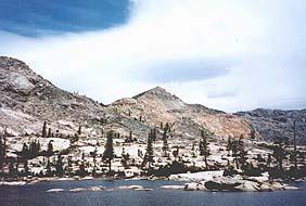
So this is Twin Lakes, at about 8000 feet. The peaks around us are 9000 to 10,000 feet high. And this is what the Desolation Wilderness looks like ... huge expanses of granite, with the occasional bush or scraggly pine.
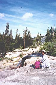
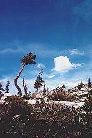
Below, Alison poses next to falls of the creek that empties Twin Lakes, and feeds Wrights Lake. Pine trees are contorted into bonsai-like shapes by the harsh conditions here.
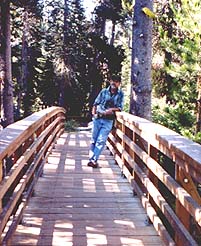
The following day, we decide to take it a bit easier, and just hike around the meadows at the north end of Wrights Lake, where the creek from Twin Lakes empties into it. Here John poses on the bridge over the creek.